Completed 2024 Alkaline Rocks Atlas of Australia
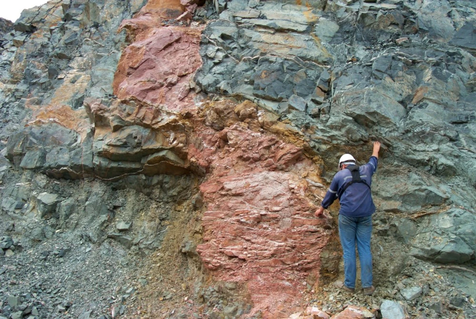
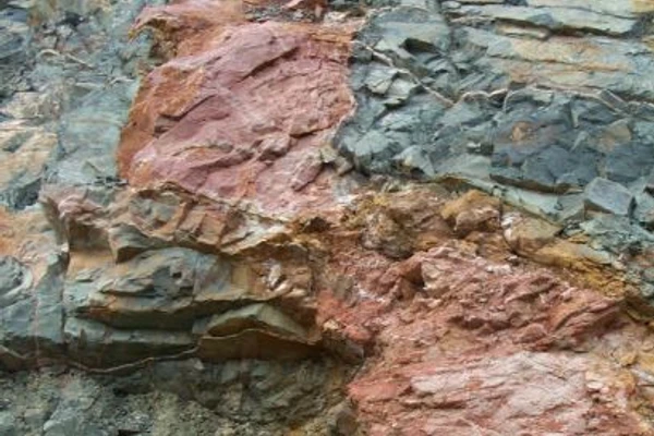
Alkaline igneous and related rocks are a small, but highly significant source of commodities essential for Australia and the world's transition to net zero carbon emissions. They are sources of rare earth elements (REEs), as well as other critical minerals, such as niobium, tantalum, zirconium, hafnium, and valuable commodities, including copper, gold, diamonds and uranium. REEs are currently of critical importance owing to their use in magnets for electric vehicles and wind turbines. Global demand for REEs is expected to rise substantially in the coming years, but metallurgically extractable and economically viable supplies are concentrated and limited.
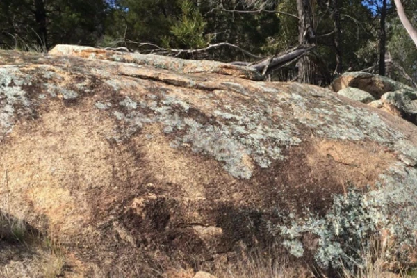
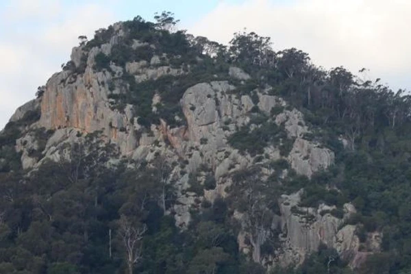
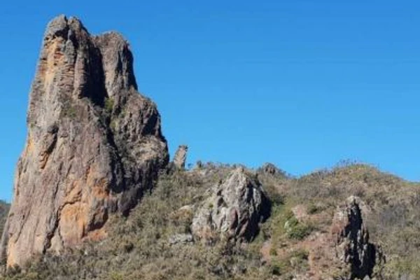
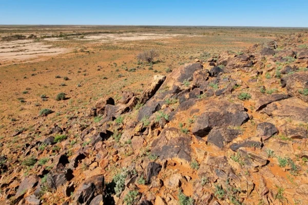
Alkaline igneous rocks are a relatively rare class of igneous rocks worldwide and occur in small quantities across Australia. As a result, they are often under-represented in continental-scale geological map compilations, and subsequent mineral potential modelling, which use geological maps as a key input, can return misleading results when assessing related mineral systems and/or commodities.

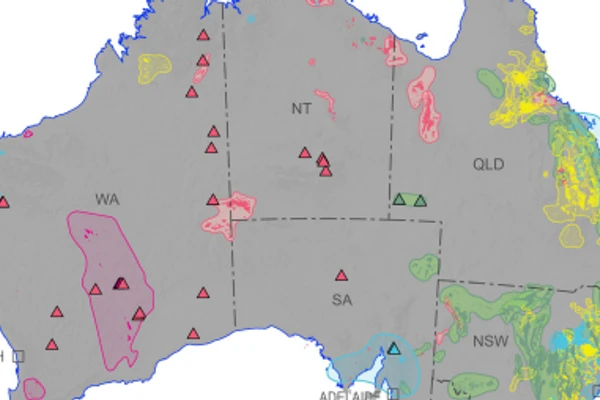
Map showing all layers of the Alkaline Rocks Atlas of Australia: Cenozoic, Mesozoic, Paleozoic, Proterozoic and Archean, color-coded based on the geological time scale. Location of masked carbonatites can be seen in the inset map
As part of the Exploring for the Future Australia's Resources Framework project, Geoscience Australia developed the Alkaline Rocks Atlas of Australia, capturing the distribution and geology of alkaline and related rocks across the country. The Atlas aids understanding of the composition, distribution and age of alkaline rocks at continental scale and, most importantly, their prospectivity for critical minerals.
The national Atlas comprises 5 comprehensive reports and accompanying GIS data packages covering 5 major chronostratigraphic subdivisions: Archean, Proterozoic, Paleozoic, Mesozoic and Cenozoic. Each data package details nomenclature of alkaline rocks and classification procedures, where geological units are represented as polygons and point features. Over 28,000 polygons of outcropping alkaline and related rocks were compiled across Australia, including Cenozoic (256 units), Mesozoic (106 units), Paleozoic (230 units), Proterozoic (85 units) and Archean (9 units). Each unit is fully attributed to document the distribution, age, lithology, mineralogy, primary data sources, descriptions and other characteristics, such as: proportion and class of alkaline rocks, unit expression, emplacement type and morphology, and presence of mantle xenoliths and/or diamonds.
Given the small volume of many alkaline rocks (especially intrusive rocks) and their apparent spatial clustering, alkaline bodies were also grouped into informal alkaline provinces that allow for better search capabilities for explorers using geographical and spatial information tools. The provinces are attributed with information similar to that provided for the geological units.
GIS layers for each dataset are also available to view in the Geoscience Australia Portal.
The Alkaline Rocks Atlas of Australia has already been used as a foundational dataset for more expansive research on related mineral systems and their corresponding economic potential being undertaken as part of the Exploring for the Future program and will assist in informing mineral exploration, particularly for critical minerals and in land use decision-making.
We thank all states and territory Geological Surveys with data contributions from:

This project laid the foundations for a national view of Australia's surface and subsurface geology, underpinning our understanding of the continent's mineral, energy and groundwater potential.
Bryant, C., Beyer, E., Buddee, M., Champion, D., Highet, L., Brown, C., Bonnardot, M., Ford, A. (2023)
Bryant, C., Buddee, M., Champion, D.C., Beyer, E., Highet, L. (2023)