Completed 2024 Curnamona Geochemistry
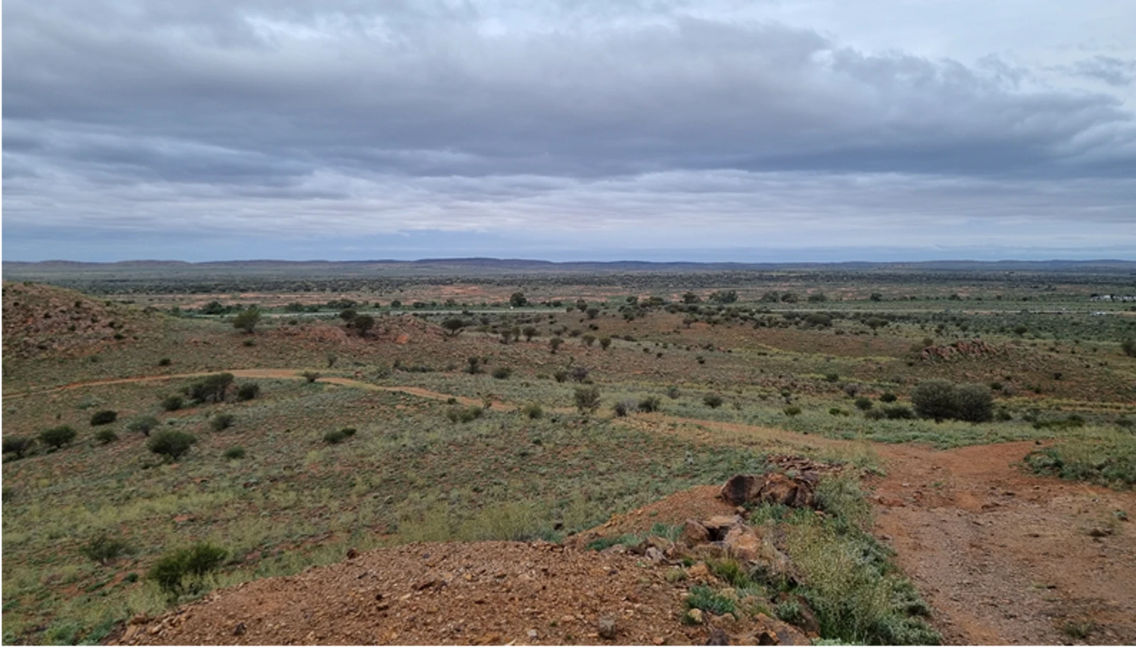
The Curnamona Province is a highly prospective mineral region that underlies the SA-NSW border. It hosts the world-class Broken Hill lead-zinc-silver-gold mine, which has operated continually since 1885. The Curnamona Province covers an area of about 60,000 km2 of which more than half the rocks are covered by geologically younger sedimentary basins and regolith.
A geological province is a term used by geologists to describe a large area that encompasses a natural geological feature where the rocks have a common geological history, such as a sedimentary basin, a fold belt or a mountain range.
The Curnamona Geochemistry study undertook a comprehensive review of the region's geochemistry in support of mineral exploration.
Working with our collaborators from the MinEx CRC, CSIRO, the Geological Survey of New South Wales and the Geological Survey of South Australia, the study defined regional geochemical baselines to characterise key geological and aquifer units. These baselines are used to investigate more sensitive and robust approaches for detecting geochemical anomalies, which may be associated with a mineral deposit, and enable a more detailed understanding of the groundwater and geology of the region.
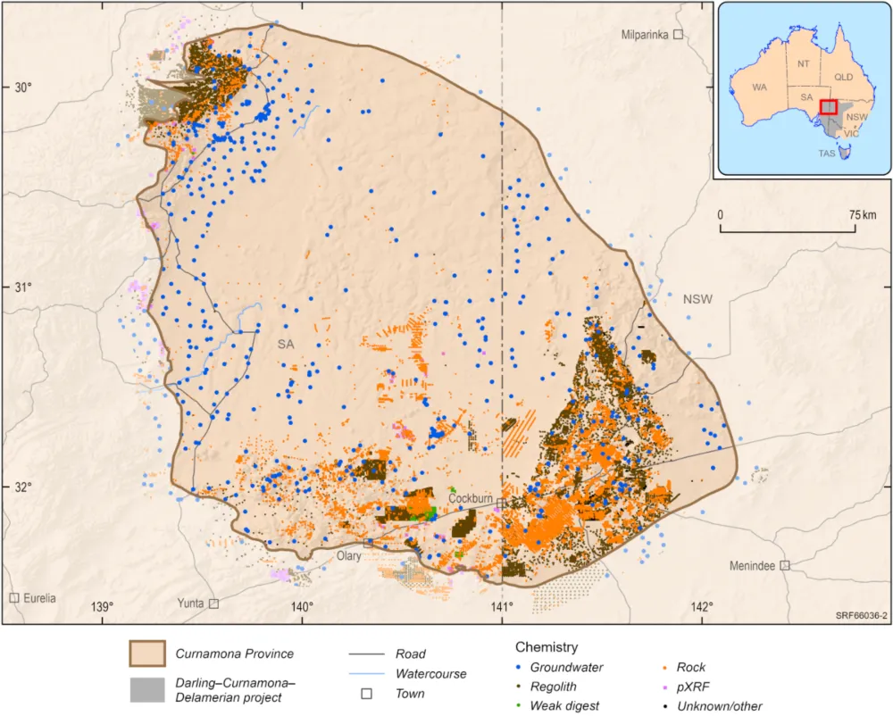
Map of the Curnamona Geochemistry study area
The objectives of the Curnamona Geochemistry study were to:
During the study we compiled existing geochemical data and collected new samples to better understand the unique geology and geochemical processes in the region.
Our activities included taking samples from rocks obtained from legacy drilling, and sampling groundwater bores.
Before collecting the new data we seek consent from landholders/owners and engage with communities in accordance with state and federal legislation. While collecting data, we do not enter private property without permission and notification, and we share any information that we collect with landholders and communities.
The findings provide new information about the groundwater and mineral systems in the region and support renewed industry exploration for new resources, such as copper, zinc and rare earth elements, to support Australia's transition to net zero emissions.
All data produced by Geoscience Australia, including the data from this study, is publicly available after quality assurance has been performed at the Exploring for the Future Data Discovery Portal.
All Geoscience Australia staff and contractors complied with Geoscience Australia's COVID-19 protocols, available upon request.
The Darling-Curnamona-Delamerian project delivered new data and knowledge to assess mineral and groundwater potential and support water management across western New South Wales and Victoria, eastern South Australia and northwest Tasmania.
The Tennant Creek to Mount Isa region hosts known mineral deposits in exposed Proterozoic rocks, most notably iron oxide copper-gold mineral systems in the Tennant Creek area, and basin-hosted base metals (zinc, lead) and uranium in the McArthur Basin.
The South Nicholson Basin region has the potential to host major petroleum and base metal mineral resources.