Projects
Completed 2020 South Nicholson Basin
The South Nicholson Basin region has the potential to host major petroleum and base metal mineral resources. A comprehensive multidisciplinary data acquisition program, conducted under the Exploring for the Future program, has been undertaken across the South Nicholson Basin, a vast, poorly exposed region covering an area approximately the size of the state of Tasmania. In contrast with the adjacent well-studied resource-rich areas of the McArthur Basin and the Mount Isa Province, geological understanding of the South Nicholson region prior to the program was limited, with no seismic datasets, minimal well penetration, and few geochemical and geochronology datasets.
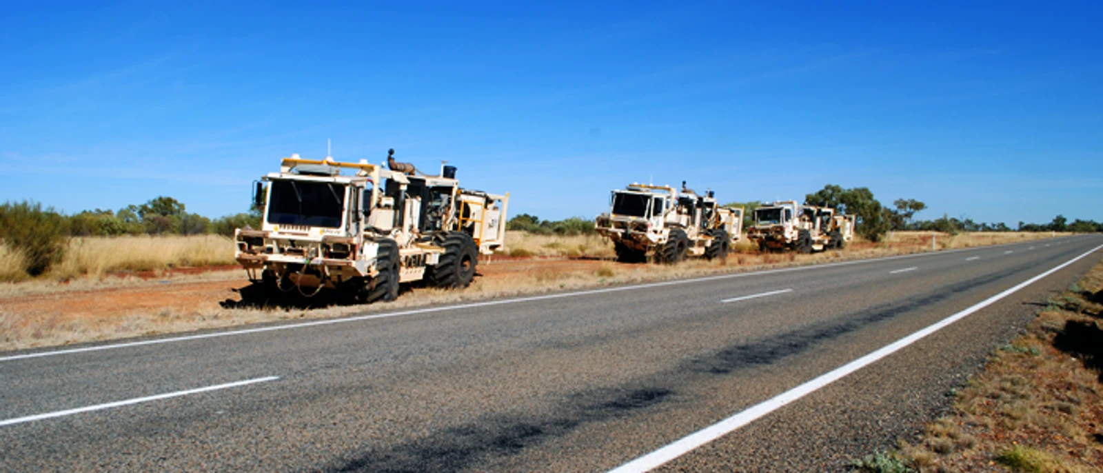
In August 2017, Geoscience Australia acquired deep crustal seismic reflection data in the region between the southern McArthur Basin and the Mt Isa western succession, crossing the South Nicholson Basin and Murphy Province. The collected data has fundamentally improved our geological understanding of this highly prospective region.
The newly acquired seismic data, integrated with complementary geological field mapping and geochronology, organic and inorganic geochemistry, petroleum systems modelling, and a shale gas assessment, provides a foundation to build a better understanding of the regional resource potential.
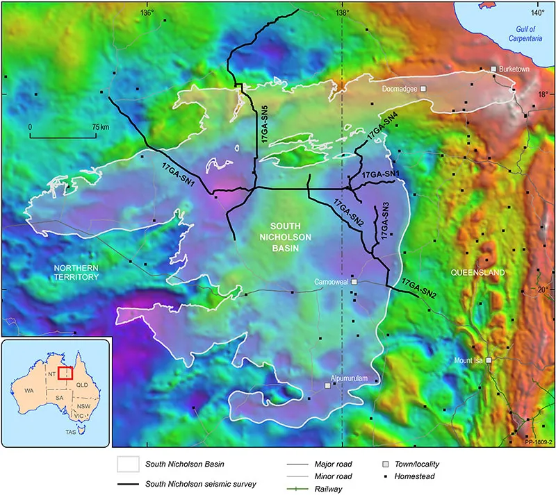
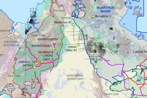
A gravity map showing the completed seismic lines over the South Nicholson Basin region across the Northern Territory and Queensland border
Project collaborators included:
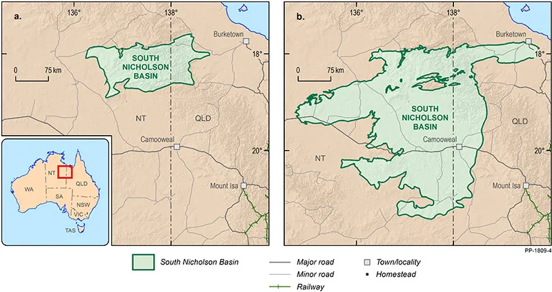
Map comparing the new (b) versus old (a) outline of the South Nicholson Basin
Annual Geoscience Exploration Seminar (AGES)
Australian Exploration Geoscience Conference (ASEG)
Australian Petroleum Production and Exploration Association (APPEA)
Asia Pacific Unconventional Resources Technology Conference (UrTec)
Informing resource development projects across Australia.
The Australian Lithospheric Architecture Magnetotelluric Project (AusLAMP) is a collaborative, national survey that acquires long-period magnetotelluric (MT) data across Australian continental.
The South Nicholson National Drilling Initiative (NDI) Carrara 1 stratigraphic drill hole was completed in late 2020, as a collaboration between Geoscience Australia, the Northern Territory Geological Survey (NTGS) and the MinEx CRC. NDI Carrara 1 is the first drill hole to intersect the as yet undifferentiated Proterozoic rocks of the newly discovered Carrara Sub-basin.