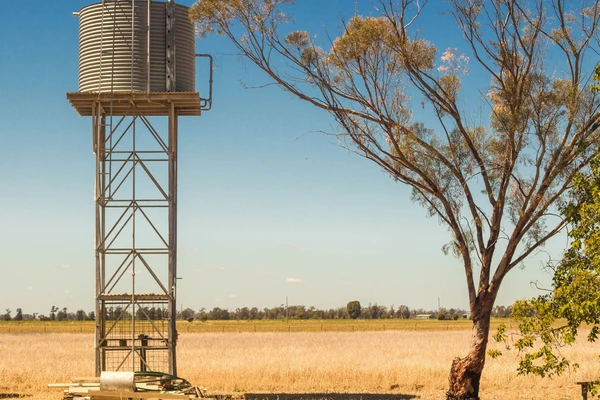
Completed 2024 Upper Darling-Baaka River floodplain groundwater study
During periods of low flow in the Darling-Baaka River, groundwater has the potential to be an alternative water source for towns, agriculture and mining.
The aim of the upper Darling-Baaka River floodplain groundwater study was to identify and better understand groundwater supplies beneath the floodplain and its surrounds. When combined with innovative water storage options, these groundwater resources could provide enhanced drought security and promote regional development.
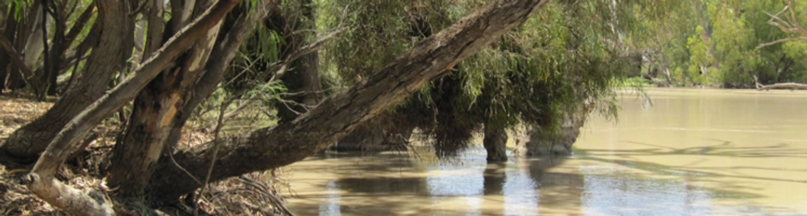
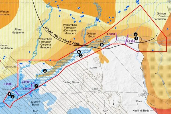
The study area covered about 31,000 km2 and included a 450 km stretch of the Darling-Baaka River floodplain from Wilcannia to Bourke and Brewarrina.
During the study we compiled existing data as well as collected new data to better understand groundwater in the region. Working with our state partners in the NSW Department of Planning, Industry and Environment, the study formed the basis of an integrated understanding of surface water - groundwater interactions, groundwater quality and aquifer systems beneath the upper Darling-Baaka River floodplain.
The upper Darling-Baaka River floodplain important for grazing and agriculture, both for regional NSW and for Australia. This study aimed to produce information to help better manage drought conditions:
During this study we collected new data and information to help us better understand groundwater resources. Prior to collecting new data we seek consent from landholders/owners and engage with communities in accordance with state and federal legislation.
While collecting data, we do not enter private property without permission and notification, and we share any information that we collect with landholders and communities. Examples of new data collection included:
All data produced by Geoscience Australia, including the data from this study, is publicly available after quality assurance has been performed at the Geoscience Australia Community and Education Portal.
All Geoscience Australia staff and contractors complied with Geoscience Australia's COVID-19 protocols, available upon request.

2022
Buckerfield, S., McPherson, A., Tan, K.P., Kilgour, P., Buchanan, S. (2022)
Geoscience Australia undertook geoscientific investigations in the Southern Stuart Corridor, spanning 89,000 km2 in central Australia to better understand groundwater aquifers (rock layers that can store groundwater).