Water security

Water security

Improved water security and sound environmental management

Groundwater represents 17% of available fresh water in Australia and is essential for communities, agriculture and industry, especially in regional and remote areas.

Our work supports

  • Improved intergenerational water security for households, agriculture and industry.
  • Community resilience 
  • Sound environmental management and stewardship.

Featured work

Acquifer

Managed aquifer recharge prospectivity mapping in the Northern Territory arid zone using remotely sensed data

Managed aquifer recharge (MAR) enhances recharge to aquifers. As part of the Exploring for the Future Southern Stuart Corridor project, remotely sensed data were used to map regolith materials and landforms, and to identify areas that represent potential MAR target areas for future investigation. 

Managed aquifer recharge prospectivity mapping in the Northern Territory arid zone using remotely sensed data Read the extended abstract
Image of water tank in a dry golden landscape

National Groundwater Systems

The National Groundwater Systems project improved understanding of Australia’s groundwater resources to better support responsible groundwater management and secure groundwater resources into the future.

National Groundwater Systems Read about the project
Broken Hill NSW, Australia

Upper Darling-Baaka River floodplain groundwater study

Communities, industries and the environment in the upper Darling-Baaka River region have been impacted by recent droughts and floods. During periods of low flow in the Darling-Baaka River, groundwater has the potential to be an alternative water source for towns, agriculture and mining.

Upper Darling-Baaka River floodplain groundwater study Read about the study
Groundwater

Regional hydrogeological characterisation of the McBride and Nulla basalt provinces: Upper Burdekin region, North Queensland

This report presents key results of groundwater level interpretations from the Upper Burdekin Groundwater Project in North Queensland, conducted as part of Exploring for the Future (EFTF)—an eight year, $225 million Australian Government funded geoscience data and information acquisition program focused on better understanding the potential mineral, energy and groundwater resources across Australia.

Regional hydrogeological characterisation of the McBride and Nulla basalt provinces: Upper Burdekin region, North Queensland Access the record
groundwater tap

How geoscience can improve water resilience for regional communities

In central Australia, groundwater is often the only source of water for communities, agriculture and industry. As part of the Exploring for the Future program (2016-20), Geoscience Australia undertook geoscientific and hydrogeological investigations in the Southern Stuart Corridor to better understand groundwater aquifers. 

How geoscience can improve water resilience for regional communities Read the case study
Sand, gravel and clay

Teaching groundwater science

Teaching geoscience can be tricky, especially when scientific information is often written for other scientists. To make geoscience more engaging and easy to understand, Geoscience Australia, in collaboration with Teaching Indigenous Perspectives in the Australian Curriculum (TIPIAC), has developed a new teaching resource for primary to secondary school students. 

Teaching groundwater science Read the case study
Outback rural landscape with red earth, dry rivers and green trees, Australia, aerial view

Understanding what lies beneath

The Australian Government’s Exploring for the Future program, led by Geoscience Australia, was dedicated to supporting a strong economy, resilient society and sustainable environment for the benefit of all Australians through an integrated geoscientific understanding of our mineral, energy and groundwater resource potential.

Launched in 2016, the first 4 years of the program (2016–20) initially focused on northern Australia. Based on the program’s success it was extended (2020–24) and expanded across the whole of Australia.

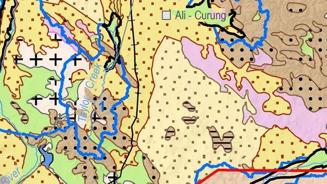
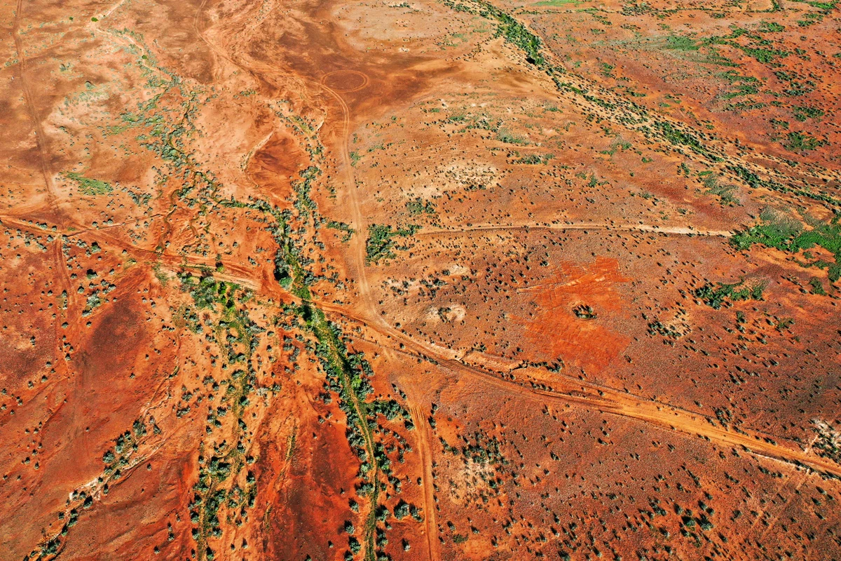
Drawing together data, science and innovative techniques and technology, the program enabled us to map undercover and underexplored areas. This in turn encouraged new investment in ‘greenfield’ areas by providing security and certainty to our minerals, energy and agriculture sectors as we transition towards a sustainable, low-emissions future.

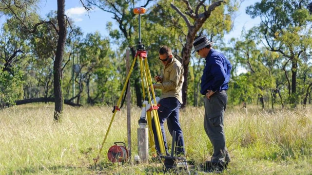
The evidence gathered through the program is already translating into real impacts, providing industry and communities with vital information they need to confidently plan, make better informed decisions and invest in new developments.

The Exploring for the Future impact pathway summarises how the program has realised its vision.